Short intro to Villa tour
instructions

Short intro to Villa tour
instructions
How the Villa was captured
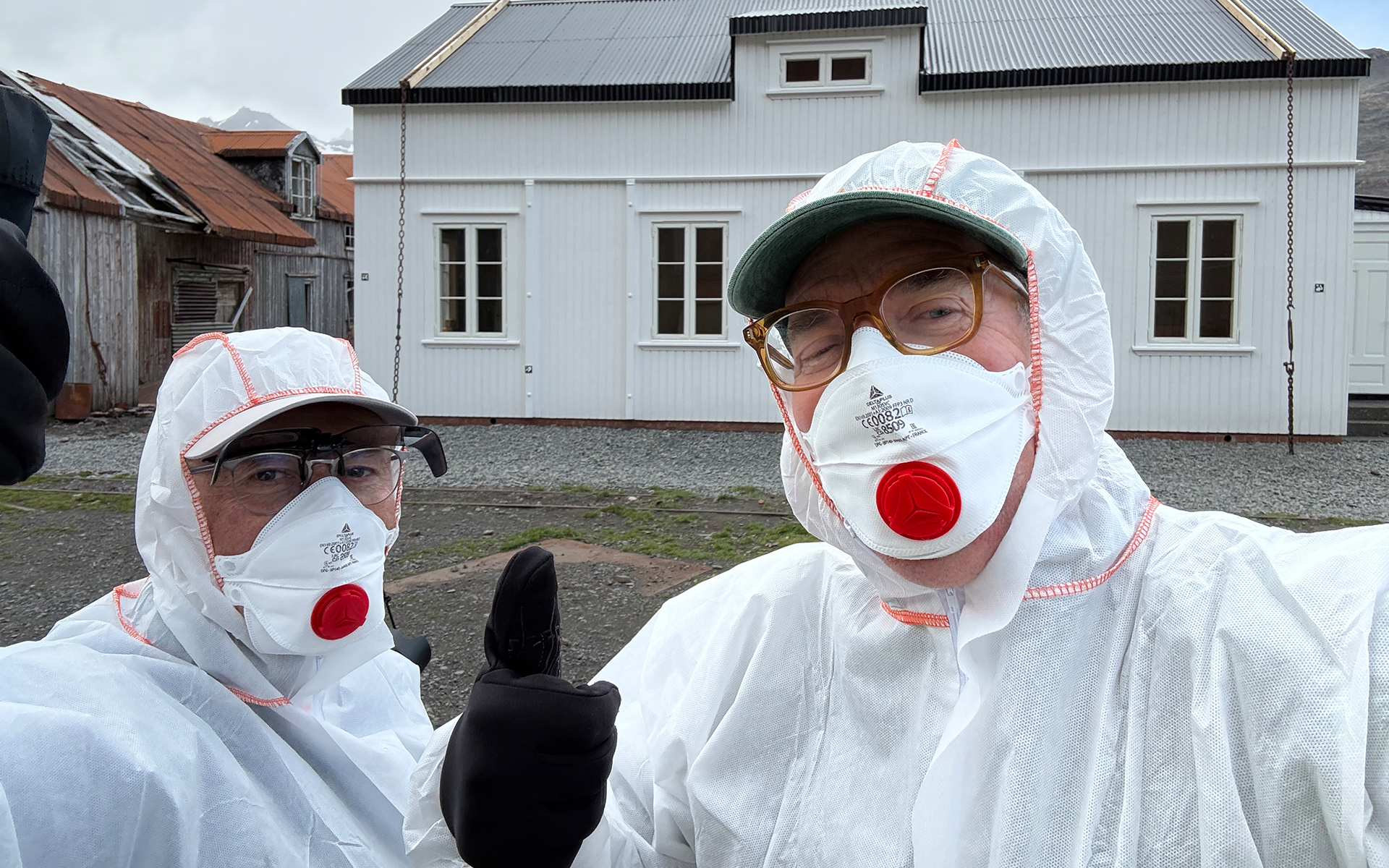
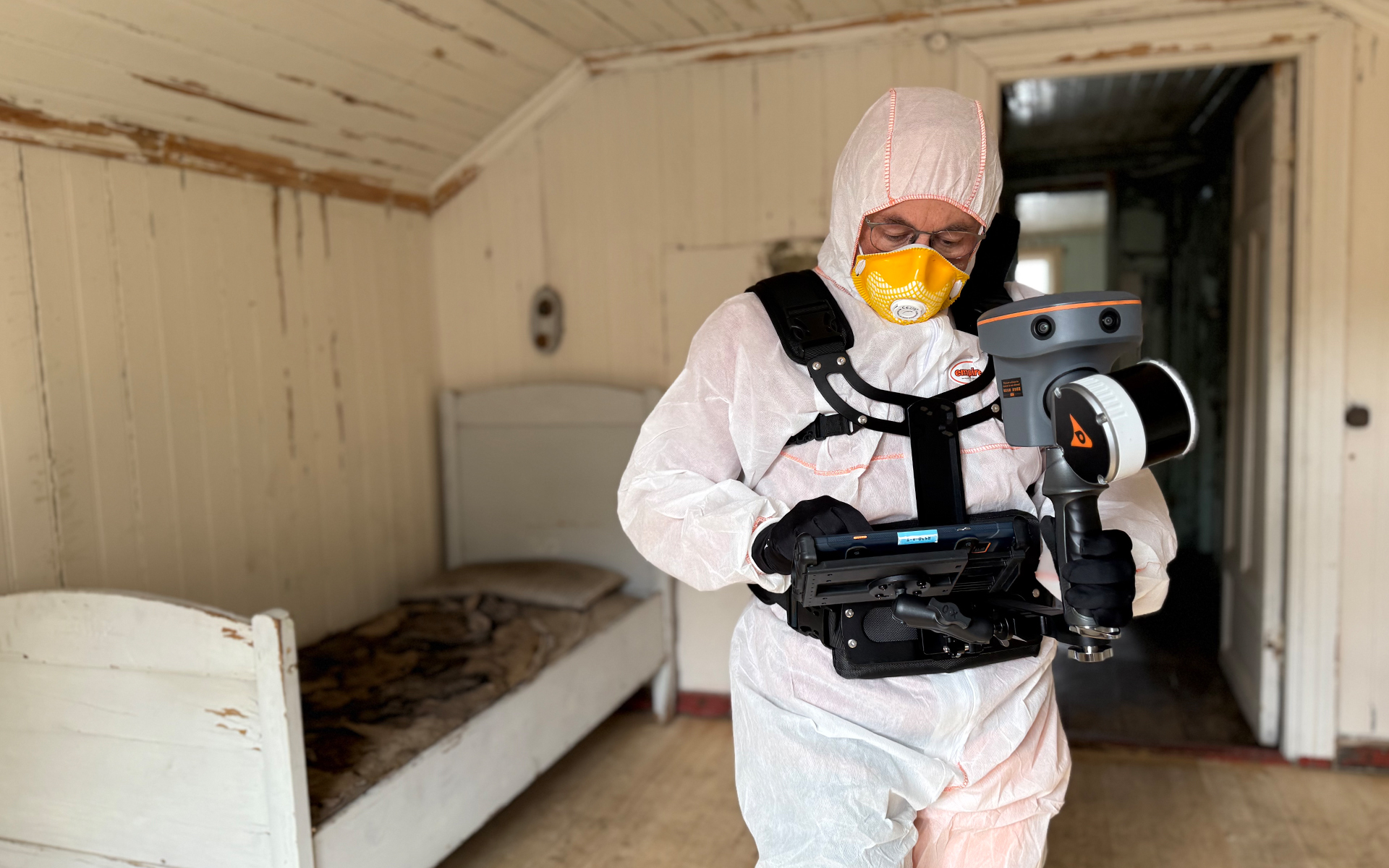
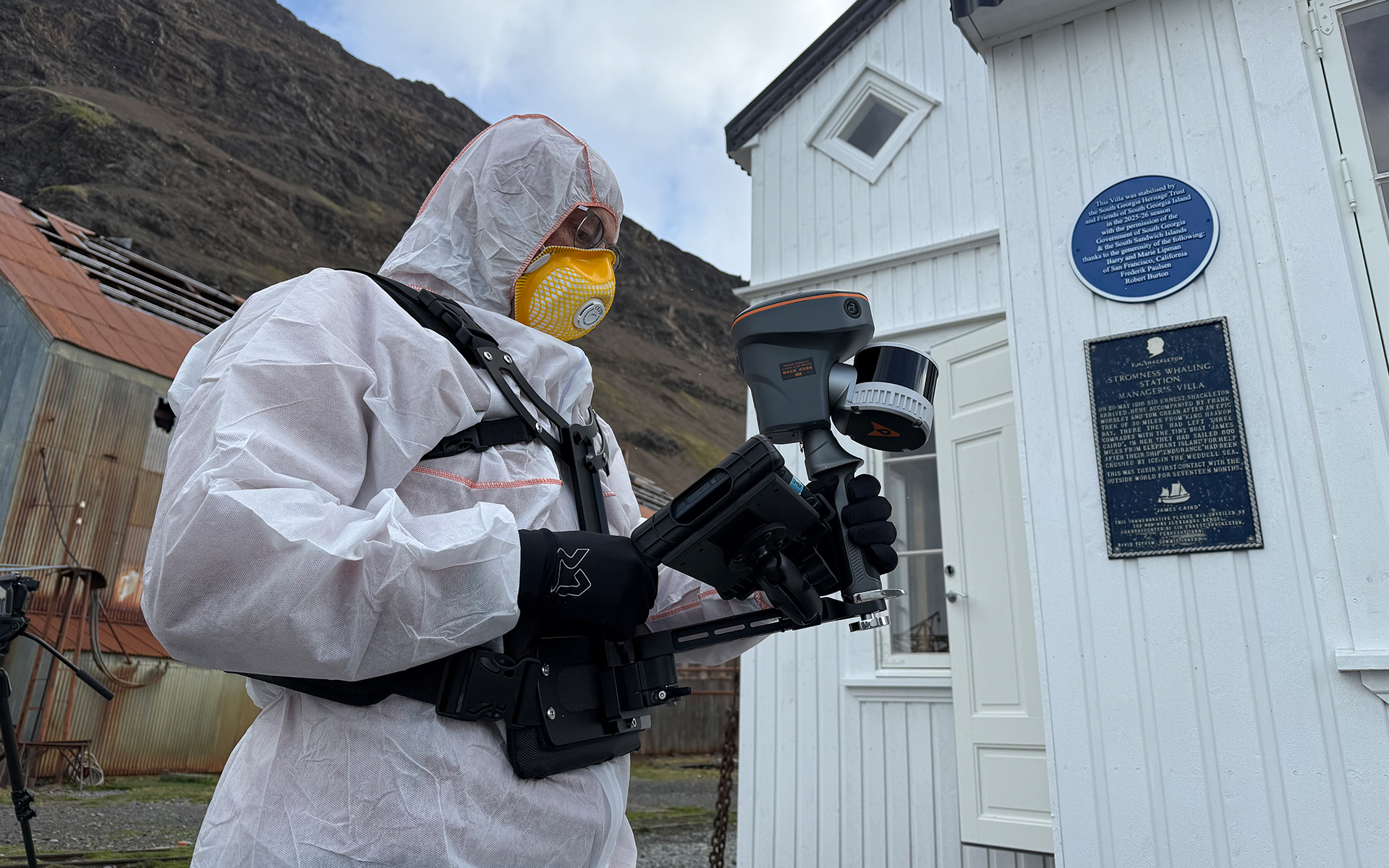
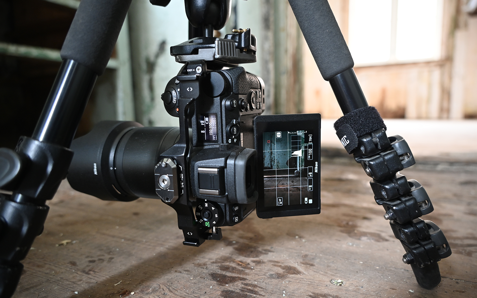
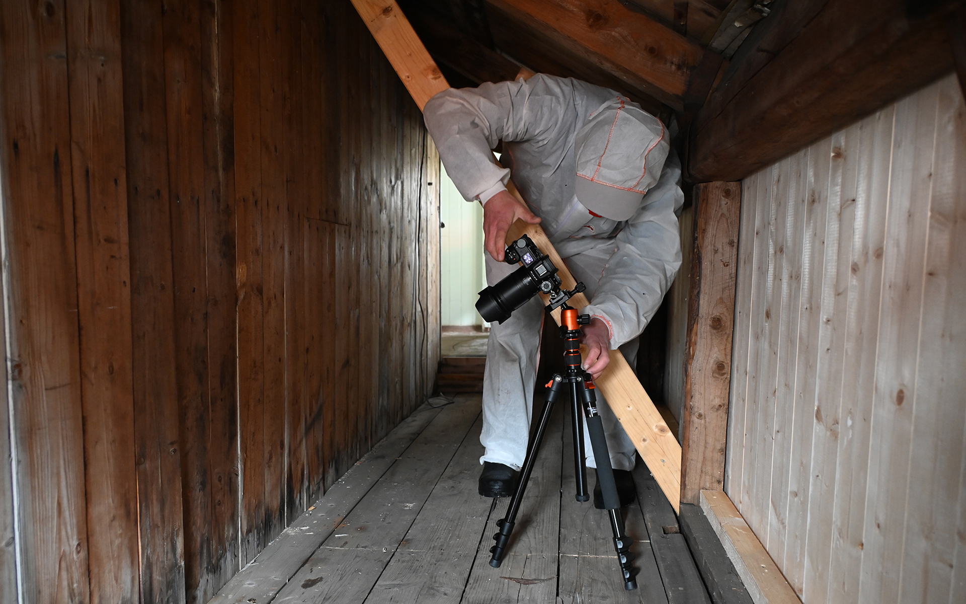
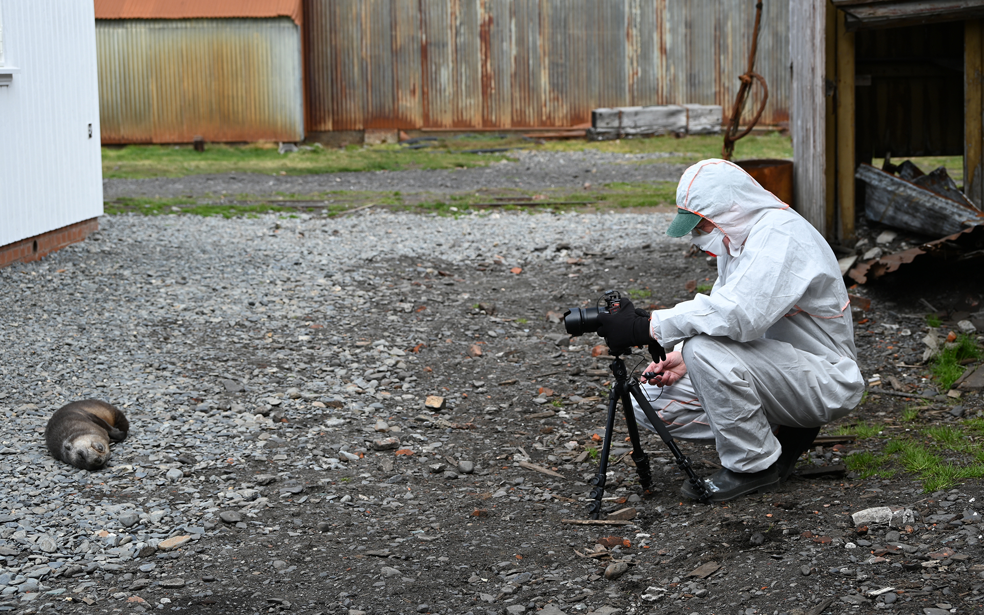
Arriving on-island near the end of the stabilisation project our team of digital specialists, Art Lewry and Jack Beccegato, used photogrammetry, LiDAR scanning and drone imagery to create a high-resolution 3D digital replica of the Villa.
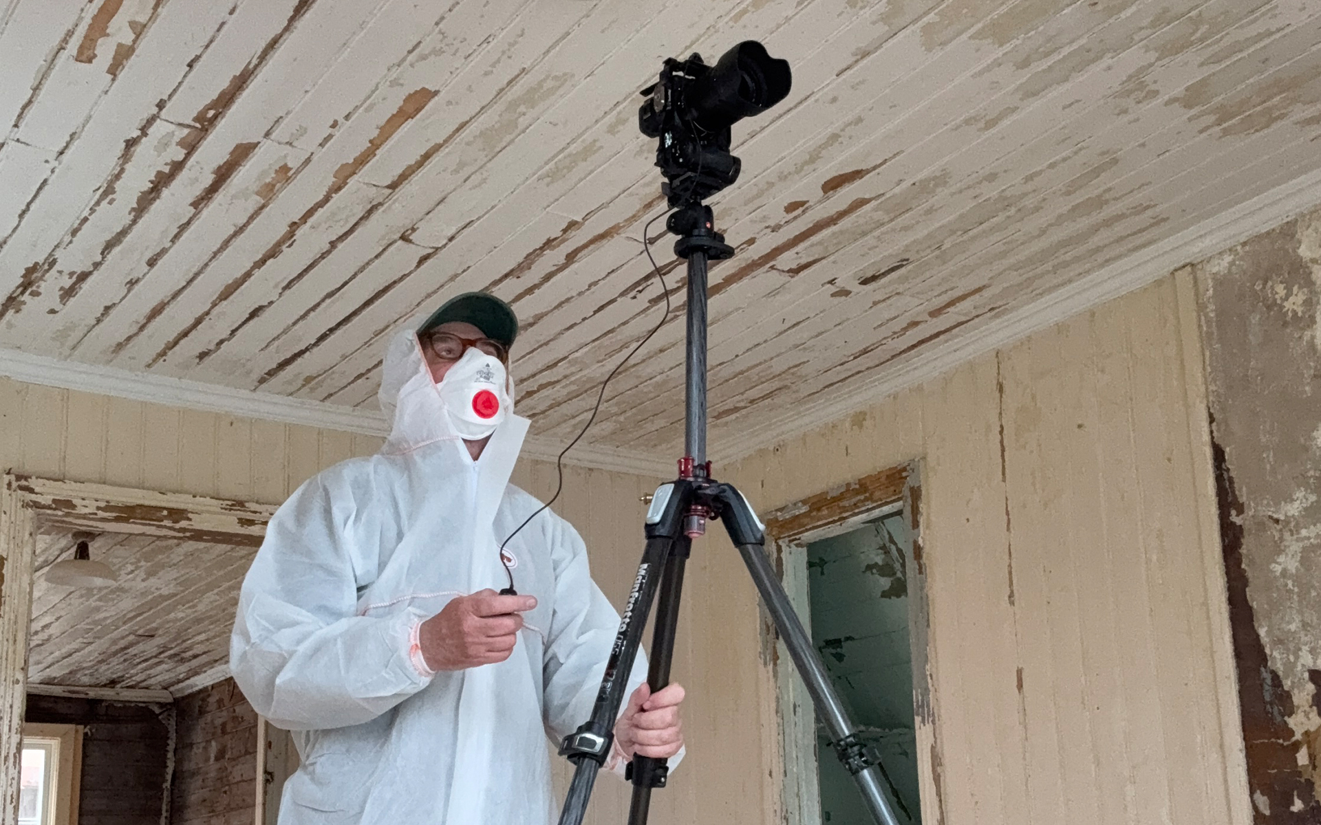
Thousands of high-resolution photographs were taken of every surface of the interior and exterior of the Villa, capturing features, textures and environments in fine detail. These images, together with the LiDAR scans captured using rapid pulses of light, generating millions of precise distance points across walls, roofs, interiors, and surrounding ground. The images and “point cloud” were then cleaned, aligned, and meshed to form an accurate digital model that preserves the Villa’s geometry and subtle surface details. This technology supports the digital twin by allowing visitors to explore a geometrically faithful representation of a fragile building that cannot easily be accessed in person